Barqusya: Difference between revisions
Appearance
Content deleted Content added
m →Bibliography: fixing a particular link to Internet Archive using AWB |
Rescuing 1 sources and tagging 0 as dead. #IABot (v1.2.6) |
||
| Line 43: | Line 43: | ||
*[http://www.palestineremembered.com/Hebron/Barqusya/index.html Welcome To Barqusya] |
*[http://www.palestineremembered.com/Hebron/Barqusya/index.html Welcome To Barqusya] |
||
*Survey of Western Palestine, Map 16: [http://www.iaa-archives.org.il/zoom/zoom.aspx?folder_id=93&type_id=6&id=8378 IAA], [http://commons.wikimedia.org/wiki/File:Survey_of_Western_Palestine_1880.16.jpg Wikimedia commons] |
*Survey of Western Palestine, Map 16: [http://www.iaa-archives.org.il/zoom/zoom.aspx?folder_id=93&type_id=6&id=8378 IAA], [http://commons.wikimedia.org/wiki/File:Survey_of_Western_Palestine_1880.16.jpg Wikimedia commons] |
||
*[http://alnakba.org/villages/hebron/barqusya.htm Barqusya], from the [[Khalil Sakakini Cultural Center]] |
*[https://web.archive.org/web/20100527231035/http://www.alnakba.org/villages/hebron/barqusya.htm Barqusya], from the [[Khalil Sakakini Cultural Center]] |
||
{{Palestinian Arab villages depopulated during the 1948 Palestine War}} |
{{Palestinian Arab villages depopulated during the 1948 Palestine War}} |
||
Revision as of 13:54, 27 October 2016
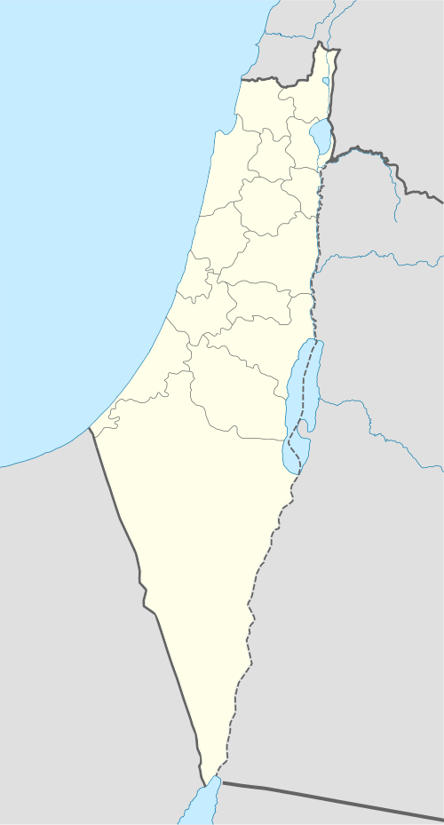
Template:Infobox former Arab villages in Palestine Barqusya (also: Barkusya, Template:Lang-ar) was a Palestinian Arab village in the Hebron Subdistrict. It was depopulated during the 1948 Arab-Israeli War on July 9, 1948 under Operation An-Far. It was located 31 km northwest of Hebron.
In 1945 it had a population of 330. The village had one artesian well which was used in the late 19th century.
References
Bibliography
- Barron, J. B., ed. (1923). Palestine: Report and General Abstracts of the Census of 1922. Government of Palestine.
- Conder, Claude Reignier; Kitchener, H. H. (1882). The Survey of Western Palestine: Memoirs of the Topography, Orography, Hydrography, and Archaeology. Vol. 2. London: Committee of the Palestine Exploration Fund. ( pp. 414 -415)
- Guérin, Victor (1869). Description Géographique Historique et Archéologique de la Palestine. Vol 1; Judee, pt. 2. (p. 121 )
- Hadawi, Sami (1970). Village Statistics of 1945: A Classification of Land and Area ownership in Palestine. Palestine Liberation Organization Research Center. (pp. 50, 93, 143)
- Mills, E., ed. (1932). Census of Palestine 1931. Population of Villages, Towns and Administrative Areas. Jerusalem: Government of Palestine.
- Morris, Benny (2004). The Birth of the Palestinian Refugee Problem Revisited. Cambridge University Press. ISBN 978-0-521-00967-6.
- Palmer, E. H. (1881). The Survey of Western Palestine: Arabic and English Name Lists Collected During the Survey by Lieutenants Conder and Kitchener, R. E. Transliterated and Explained by E.H. Palmer. Committee of the Palestine Exploration Fund. (“variegated” p. 266)
- Socin, A. (1879). "Alphabetisches Verzeichniss von Ortschaften des Paschalik Jerusalem". Zeitschrift des Deutschen Palästina-Vereins. 2: 135–163. ("Kusija", p. 157)
External links
- Welcome To Barqusya
- Survey of Western Palestine, Map 16: IAA, Wikimedia commons
- Barqusya, from the Khalil Sakakini Cultural Center

