Enstaberga
Appearance
Enstaberga | |
|---|---|
 | |
| Coordinates: 58°45′N 16°51′E / 58.750°N 16.850°E | |
| Country | Sweden |
| Province | Södermanland |
| County | Södermanland County |
| Municipality | Nyköping Municipality |
| Area | |
• Total | 0.59 km2 (0.23 sq mi) |
| Population (31 December 2020)[2] | |
• Total | 441 |
| • Density | 750/km2 (1,900/sq mi) |
| Time zone | UTC+1 (CET) |
| • Summer (DST) | UTC+2 (CEST) |
| Climate | Cfb |
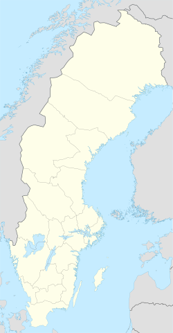
Enstaberga (local pronunciation Énstabärja) is a locality in Nyköping Municipality, Södermanland County, Sweden, with 430 inhabitants in 2010.[1] It is about 10 kilometres (6.2 mi) west of downtown Nyköping on the Tuna plain, in the Kila Valley.
Enstaberga is located close to the locality of Svalsta, to which there is a floodlit road with a cycling path alongside over a field of a few hundred metres. It also has a floodlit cycling path all the way to Nyköping, going through the village of Bergshammar 4 kilometres (2.5 mi) to its east, with the three forming a wider agglomeration of between 2,000 and 3,000 people.
References
[edit]- ^ a b "Tätorternas landareal, folkmängd och invånare per km2 2005 och 2010" (in Swedish). Statistics Sweden. 14 December 2011. Archived from the original on 2012-01-27. Retrieved 10 January 2012.
- ^ "Statistiska tätorter 2020, befolkning, landareal, befolkningstäthet". Statistics Sweden. 31 December 2020. Retrieved 3 June 2024.


